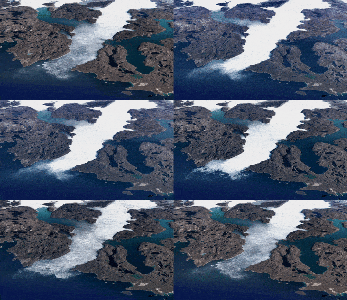
It’s easy to turn a blind eye to global warming when you don’t understand or see the magnitude of its effects.
Google aims to tackle this problem directly. Launched in April 2021, Google Earth’s new Timelapse shows precisely how planet Earth has been affected by climate change.
Created by Google in partnership with a team at Carnegie Mellon University’s Create Lab, the Timelapse tool is the biggest update to Google Earth in four years and was developed using over 24 million satellite images taken from 1984 to 2020, all compiled into an interactive, user-friendly, 4D experience.
At the click of their fingers, users can now see nearly four decades of time unfold in the form of planetary change. Any location’s transformation can be searched and viewed, from the Columbia Glacier Retreat in Alaska to the effects of deforestation in Bolivia.
Google’s aim is that this tool will be used for education and awareness – providing a visual of the alarming effects of climate change to show why we must care about what is happening. They plan to update this tool every year, to provide an accurate representation of pressing climate issues.
You can check out the tool here: https://earthengine.google.com/timelapse/
All images in this article are courtesy of Google.


